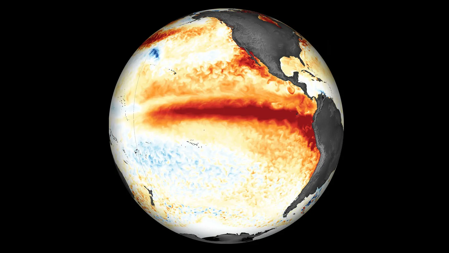
This Year’s El Niño Already Broke A Record Months Before It’s Expected To Peak
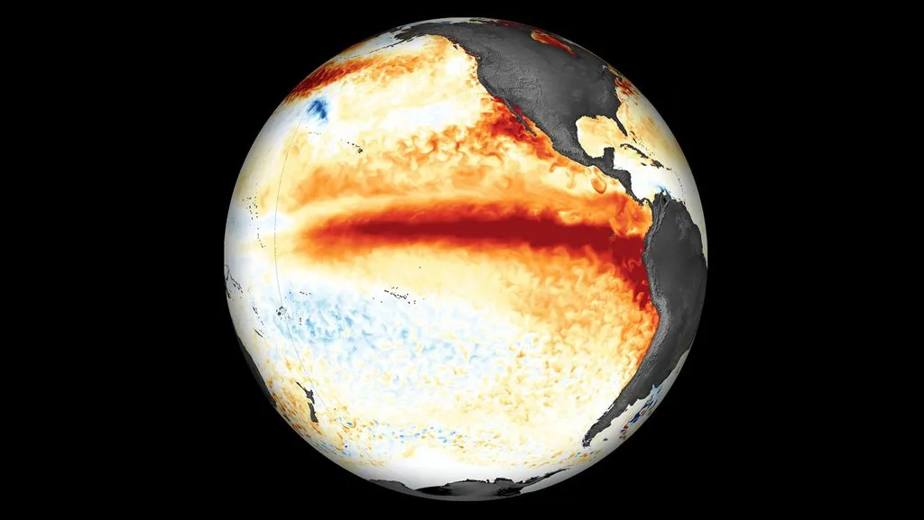
Warnings of an El Niño unlike any other are starting to become reality.
For months, scientists have cautioned that the natural climate pattern could grow into a record-breaking beast, releasing extraordinary amounts of heat from the ocean and fueling droughts, floods, heat waves and severe storms. Now, a traditional strength measurement of El Niño, called the Oceanic Niño Index, indicates that the pattern has reached an intensity unseen in recorded history.
On September 21, the daily sea surface temperature in the region where El Niño develops — the central and eastern equatorial Pacific Ocean — reached 3.08 degrees Celsius warmer than the 1991 to 2020 average. That’s more extreme than any other El Niño ever recorded.
“It has been a remarkable event,” says Nathaniel Johnson, a climate scientist at the National Oceanic and Atmospheric Administration’s Geophysical Fluid Dynamics Laboratory in Princeton, N.J. What’s more, the El Niño will probably grow even stronger, Johnson says. “We’re probably going to reach our peak within the next few months.”
The oceanic heat released by the phenomenon could contribute to an increase in global land temperatures of about 1.2 degrees Celsius over the coming months, leading to over 450,000 additional heat-related deaths by February 2027, researchers from the Climate Impact Lab at the University of Chicago report.
NOAA has yet to declare this event the strongest on record. It uses a rolling three-month-average anomaly, rather than the daily anomaly, in calculations of an El Niño’s strength. And it’s shifted to a new method for measuring El Niño strength, called the Relative Oceanic Niño index, which better represents the phenomenon’s ability to sway weather globally. By that measurement, the current El Niño has yet to surpass the strength of the one in 1997 and 1998.
But that record is on track to be broken soon, the latest seasonal forecast from NOAA’s Climate Prediction Center suggests.